 Español
 English
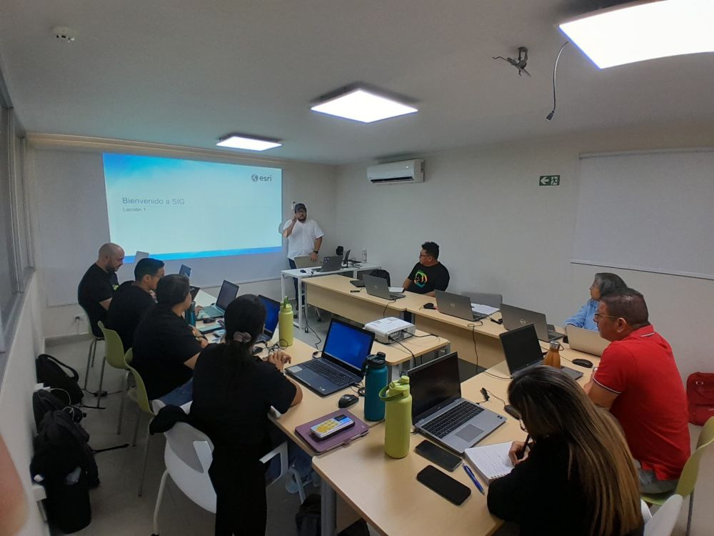
Fundación Natura is certified in the use of GIS technology under the tutelage of ESRI
In an effort to strengthen their capabilities and make the most of the technological tools available, Fundación Natura’s technical team of coordinators and managers has successfully completed an intensive four-day course in the use of Geographic Information Systems (GIS). in English), under the tutelage of ESRI, the world’s leading GIS software company.
The training, titled “Introduction to GIS Using ArcGIS and ArcGIS Online Essential Workflows,” was taught by certified ESRI experts. During four days of intensive practice, participants acquired a solid foundation in the use of these powerful technological tools, fundamental for the integration of work in projects and the efficient administration of resources in the foundation.
ArcGIS, one of the leading platforms in the field of GIS, became the main focus of the course, where participants learned how to use its various tools for interactive map creation, advanced spatial analysis, and more. Additionally, essential workflows in ArcGIS Online were covered, providing participants with the skills necessary to get the most out of this cloud platform.
“This certification represents a significant step in our commitment to innovation and continuous improvement in our environmental conservation work,” commented Alvin Alzamora, Project Manager. “Having received this training under the direct guidance of ESRI ensures that we are equipped with the most up-to-date knowledge and best practices in the use of GIS technology.”
Fundación Natura thus reaffirms its commitment to technical excellence and the adoption of cutting-edge technologies to address the most pressing environmental challenges of our time. With a properly trained technical team and state-of-the-art GIS tools at its disposal, the foundation continues its mission to protect and preserve biodiversity for future generations.